Month: October 2016

Gila Bigfoot

Bigfoot is not an important thing to most people. It’s entertainment – a tantalizing possibility to tease curiosity and fuel ‘B’ movies, YouTube and reality TV. How would life change if indisputable proof were produced?

If you knew for sure there was something ‘out there’, faster, sneakier and smarter than you, able to take your head off with an audible pop – you might avoid the forest…right? But you probably do already. So, what else? What difference would it make?

News flash: Squirrels know more about reality than humans – 800 pound ape-men wander the forests and mankind is clueless.

If you know the truth about Bigfoot, it puts a new perspective on human arrogance. To realize, right next to seven billion of us there are who-knows-how-many thousands of eight-foot, hairy, bipedal hominids who are so good at playing hide-and-seek that we lost track of their existence. One might wonder if we are the dumber ape.

We weren’t always clueless. And some people never have been. Traditional First Nation people have always accepted it’s existence. Only in the last century has there been a concerted denial by skeptics.

Skeptics are bred in cities for the most part…need I say more?

The Bigfoot community likes to blame scientists, and we should. They hold themselves as the arbiters of truth when they are as clueless as anyone… they don’t even go look. They’ve erected a wall of ostracism to climb over for anyone who hints of Bigfoot’s plausibility. Cheers to the hand-full of brave scientists who’ve had the courage to investigate the subject.

In spite of a mountain of evidence and eyewitness accounts, the argument is that none of it is conclusive. And thanks to hoaxers, who should be burned at the stake (I don’t care how funny it is, it’s dishonest) there is an easy excuse for any single piece of evidence.

Perhaps it’s better this way. It will be terrible if biologists run around bagging DNA samples, tranquilizing and tagging the creatures, probing and categorizing them like they do everything else. I don’t want Bigfoot sporting ear tags and GPS transponders. I don’t want our behavior to affect theirs.

I pity the great whales being harassed endlessly by dart guns and tags, speedboats and self righteous environmental protectionistas. It may have the optics of being well-intentioned, but it doesn’t amount to much more than papers written by academics to justify their existence. The world rolls on; whale, elephant and tiger populations rise and fall, but generally fall, largely under the heavy hand of humans in spite of those efforts.

I fear armies of undisciplined, city-bred college students tramping through the mountains measuring the angle of tree leans. What would be the plus side – sales of pith helmets would skyrocket? The hairy folks in the forest seem to be doing fine without our help now.

It would also be terrible to see huge swaths of forest lands isolated from our enjoyment. You must know, ultimately it would happen to ‘protect the species’ – mankind can’t resist the urge to meddle. It might also mean protecting us the same way it’s done for bear and mountain lion – with a gun.

Certainly there are people in the Forest Service who know of them, and may have come to this conclusion: leave things as they are. It may be a sad day when ‘Science’ finds Bigfoot.

Nevertheless, truth is the most important thing for some of us. Ignorance isn’t bliss, because it doesn’t satisfy the need to know. Fortunately, there is a way to know, for yourself, the truth about Bigfoot. Forget those who snicker and deny its existence. It would diminish their self importance if they knew what lurks behind the backyard fence.

The purpose of this post is to introduce Gila Bigfoot, a ‘YouTube’ playlist devoted to searching for Bigfoot. I just needed to rant for a minute.

utahsasquatch
Utah Sasquatch

Credit is due to Utah Sasquatch for conceiving of #projectgoandsee which, along with many other people participating in the project, inspired the production of ‘Gila Bigfoot’, .

Reo is a hero, which rhymes nicely, but is a worthy tribute, because he shows anyone interested in how to find Bigfoot, how to actually do it. He makes the challenge to all of us very simple and straight (why is it someone even has to say this?): Go Look!

colorado-bigfoot
Colorado Bigfoot

#projectgoandsee and its many contributors are simply walking into the woods to see for themselves. Possibly the best contributor is ‘Colorado Bigfoot‘, who’s YouTube videos of complex, massive, and absolutely un-hoaxable tree structures provide conclusive evidence of, at least, a coherent entity behind their making. What he films in the forests of Colorado begs an explanation.

arizonaannotatedArizona isn’t the first place people think of when Bigfoot is the subject. This is one paradigm people should get over. They are not isolated to the Pacific North-West; the Cascades, the Rockies, or this, or that…they are closer than you think.

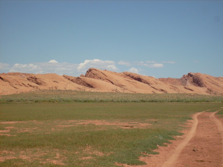
Arizona is a patchwork of desert and mountain, but south of Four Corners, along the eastern border of the state, there is a hopscotch of mountains all the way to Mexico.

Bigfoot reports are concentrated in four, high country, forested areas. Area 1, on the map, is the Kiabab Plateau, which includes Mt. Humphreys and the Grand Canyon, particularly the isolated, barely inhabited North Rim.

Area 2 is the Navajo Nation, which includes the San Juan Basin, and the Carrizo and Chuska Mountains, where sighting aren’t discussed much with outsiders.

Area 3 is the best known area in Arizona. It’s home of the Mogollon Monster. Sighting reports are numerous along the rim, all the way to the Continental Divide. Here is a good video featuring the late Mitch Waite, Arizona’s original Bigfoot Hunter.

Gila Bigfoot lives in Area 4, the White Mountains north of the Gila River, and a few Sky Islands to the south. The White Mountains are mostly reservation lands for the White Mountain and San Carlos Apaches. The Sky Islands are National Forest lands.

portal_peak_in_the_chiricahua_mountains
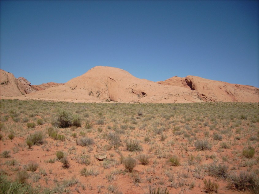
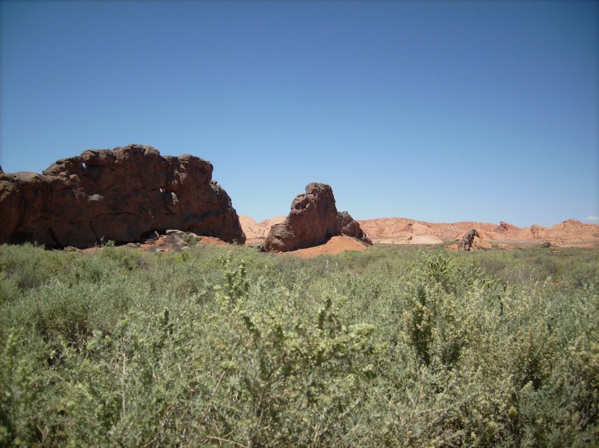
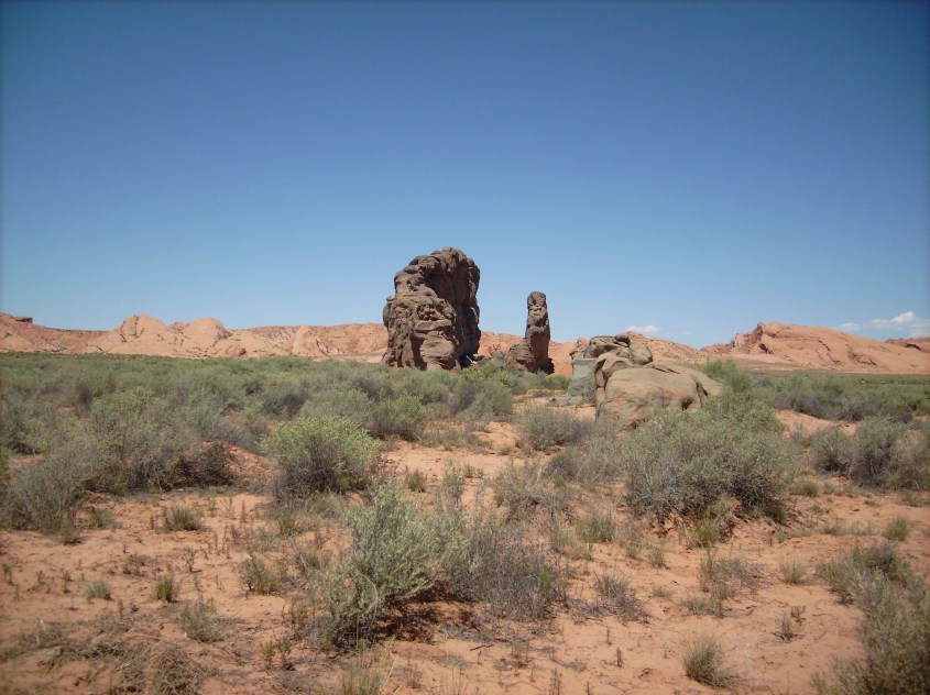
The term “Sky Island‘ pertains to the mountains in the basin and range country of Southeastern Arizona and well into Sonora Mexico. The ranges are surrounded by basins of arid desert. Like islands on the sea, forest habitat is isolated above seven thousand feet. Yet there is ample territory to support a profusion of wildlife. These mountains boast more diversity of species than Yellowstone.

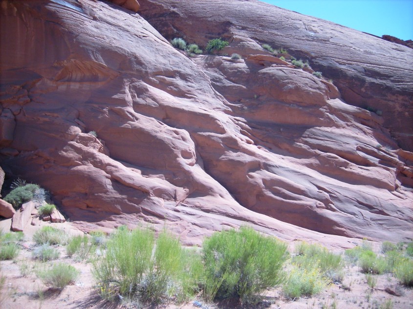
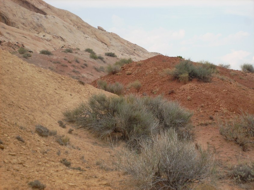
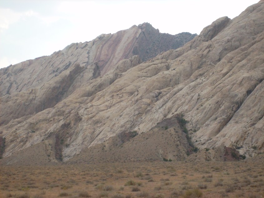
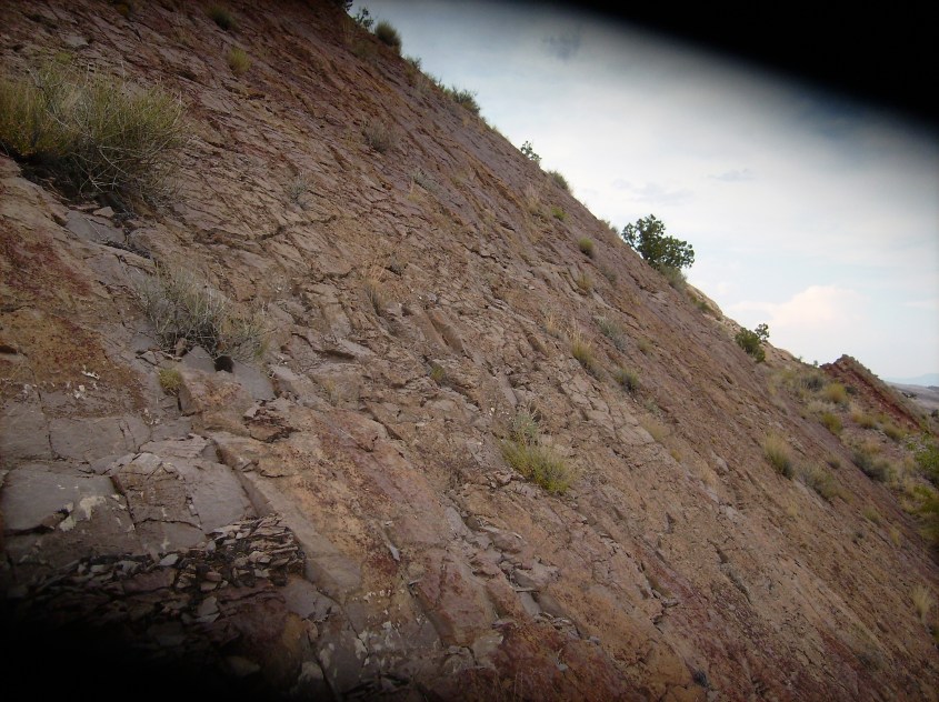
Isolated ranges provide some interesting topographical advantages, and challenges for locating Bigfoot. The habitable range is geographically contained. Rugged, mountainous terrain limits possible occupation areas, where water and flat, livable space is available. Human traffic is scarce, limited to designated campsites on mostly primitive roads. Few people know about the area, and most traffic is local.

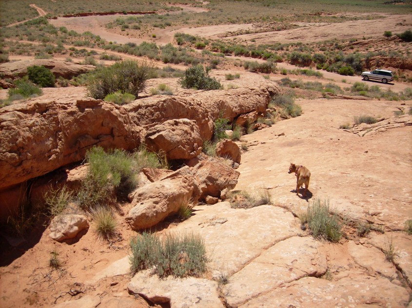
I use these feature to advantage. Trail finding is easy in the area I survey. Obvious paths marked by tree leans, tree breaks and barriers cross the minimal network of roads on the mountain in several places.

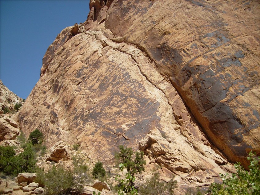
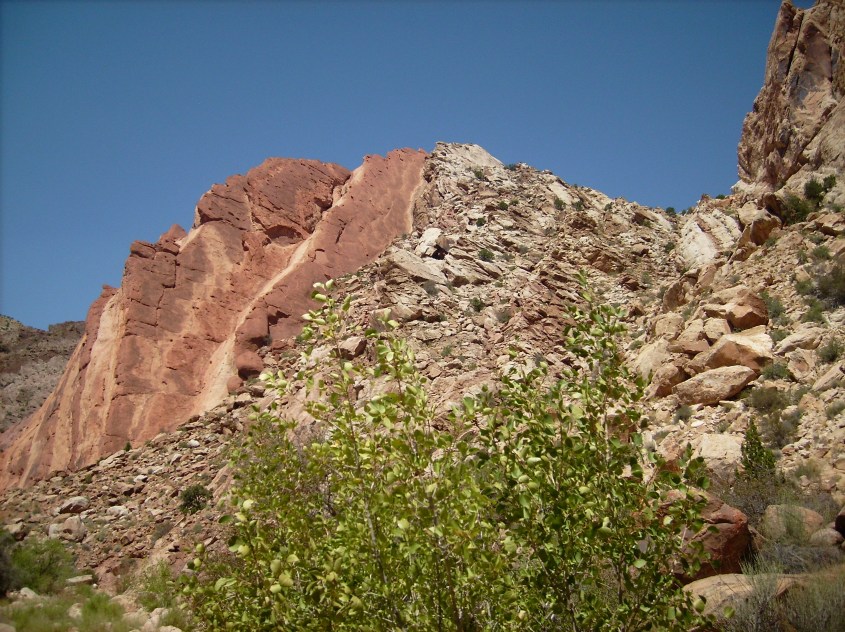
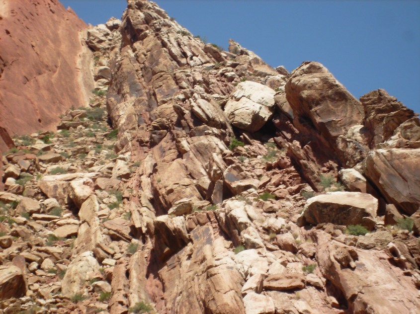
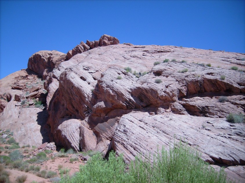
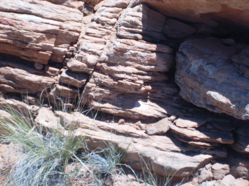
The mountains are rocky, mostly steep ground a sane person wouldn’t venture through without a trail. Every canyon, meadow and waterway is brooded over by rocky caps on the peaks, where a single lookout can see all approaches.

dsci0023
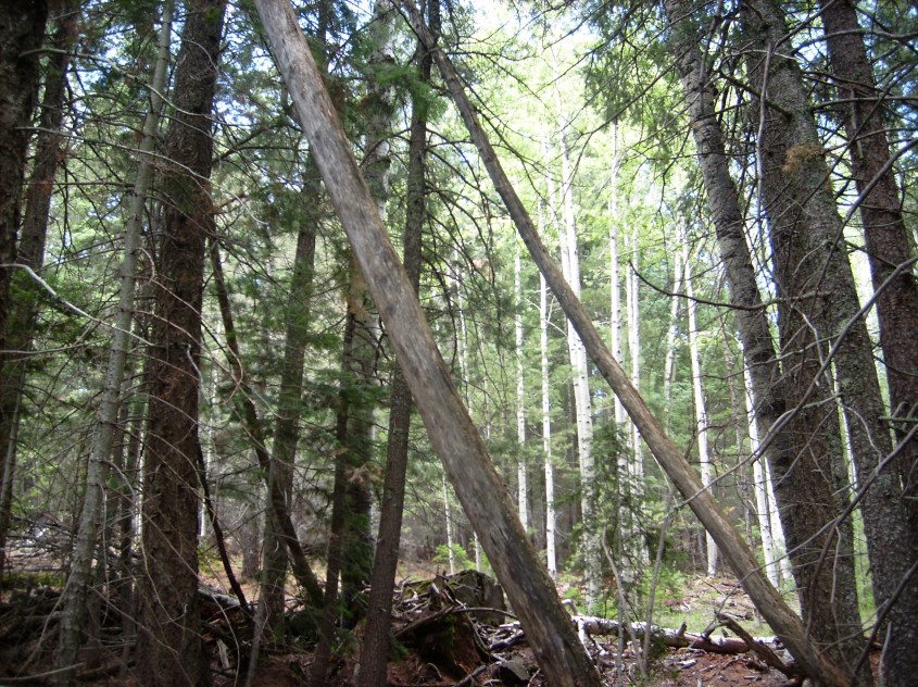
My technique is simple. I go light and alone except for my dog. I hike straight up a path of tree leans, quickly and quietly. I choose trails that lead a short distance to a ridge, or peak, where there is likely to be evidence of their presence. There is also the possibility of an encounter.

I don’t try to hide, my footsteps will give me away anyway. I simply move quickly, under the assumption it will take them a few minutes to realize I’m off the human trail and coming their way. I hope they hesitate to move away before I get close enough.

I don’t whoop, or call blast, or beat on trees, or perform any other stunt to “draw them in”. The only thing that would accomplish is chase them away, or bring them into my campsite at night, which is the last thing I want.

I’ve been rewarded about thirty percent of the time with a whoop, rock clacking or, in one case, a horrible smell. The whoops and rock clacks were authentic. There is no animal that could do either and I’m certain no humans were around. The smell – well, it wasn’t me. That is enough, along with marveling at their ingenuity with trees, to make the effort worthwhile. They work trees like we do flower arrangements.

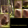
Of course I want to see one. That’s the ultimate goal. But I don’t expect that to happen and be able to film it. Besides, I’ve crossed that Rubicon. I saw one in California several years ago. It screamed at me. It wasn’t a pleasant experience.

I wasn’t looking for one then. Now that I am, will it scare the hell out of me again? Probably…but then, that is the adventure. I hope you enjoy these first episodes of Gila Bigfoot.

Thank you.

The Monocline

Re-posted courtesy of Thunderbolts.info

In previous articles, we discussed evidence of electromagnetic and hydrodynamic forces that shaped the landscape with arcing currents in an atmospheric surface conductive path. We theorized these currents sent bolides of plasma jetting through the atmosphere, blow-torching the ground below into craters and mountainous blisters, based on observed characteristics of the landscape.

The evidence on the landscape is in the form of triangular buttressed mountains and related land forms that display the shape of windblown deposits created by hot supersonic winds under the influence of shock waves. The triangular forms are created by reflected shock waves, heat, winds, molten rock and dust stirred by the blast of the arc.

It’s an amazing concept that has the potential to be proven, as discussed in Arc Blast – Part 1, 2 and 3, and in the accompanying “Space News” episodes, “EU Geology – A New Beginning”, “The Arc Blasted Earth” and “Extraordinary Evidence of EU Geology”. To understand the full context of this discussion, be sure to view these materials.

Recent field examination of triangular buttress features on monoclines in the Four Corners region of the southwest U.S. provides some confirming evidence for the theory, some conflicting evidence, as well as new information to expand theories for Electric Earth geology.

four-corners-locator2
A = Four Corners, B = Site of Investigation – Google Earth Image

Field Notes from Four Corners

“Four Corners” is a nickname for the location in North America where the borders of Arizona, Utah, New Mexico and Colorado meet. It is a region of splendid beauty, history, mystery and geology.

It is among the most ancient regions known to have been occupied by the earliest humans in North America. Blackened rock is decorated with archaic petroglyphs and pictographs. “Squatter Man”  appears on random canyon walls.

It’s a region that suffered catastrophe, causing inhabitants to suddenly flee in a mass diaspora seven centuries ago. Cliff houses abandoned by the Anasazi Pueblo people haunt this region; derelict and silent in deep canyon clefts.

Through it flows the San Juan River, from headwaters at the Continental Divide immediately east of the region, to confluence with the Colorado River immediately to the west, before their joined flow cuts into Lake Powell and the Grand Canyon.

Yet the region is arid, desert plateau over 1500 meters above sea level. The geologic enigma of Monument Valley lies at its core. On a satellite image, it stands out like a bulls-eye on the landscape of North America.

Near the Navajo town of Kayenta, Arizona is the southern end of a monocline – a curvalinear ridge nearly 100 km long, that extends from Kayenta east, and then north to Horse Mountain in Utah. It’s named Comb Ridge. It borders Monument Valley on the south, and east, and is sliced by the San Juan River at the mid-point. A field examination of Comb Ridge was recently performed and is the focus of this article. As we will discover, it holds answers about the form of our planet.

Pressure Ridge (AKA, The Monocline)

Below is an image of Comb Ridge near the town of Kayenta, Arizona. It was investigated on August 13, and a subsequent investigation was made the following week of another monocline ridge, the San Rafael Reef in Utah, to compare and confirm consistency of findings. A report on the findings of the San Rafael investigation is forthcoming, however some photographic evidence from the San Rafael Reef is used in this article to illustrate findings consistent to both monoclines.

kayenta12
The Kayenta Monocline (pin denotes area investigated) – Google Earth image.
dsci0467
San Rafael Reef, Utah – photo by author.

By mainstream reasoning, these are sandstone sediments that drape over the scarp of a deep basement fault, where one side of the fault lifts higher than the other leaving a linear ridge on the landscape. These ridges are often called hogbacks. They can be a linear hill stretching a few hundred meters, elevated a dozen meters in relief , or they can be a curvalinear mountain ranging more than a hundred kilometers long and a thousand meters in elevation.

Their most common characteristic is they display the layers of sediment exposed on one side along the steep and often jagged high end, and a shallower sloped and generally planar faced opposite side – a ski slope is the term often used.

kayenta3
Layered sandstone tilted to a consistent angle is characteristic of the monocline. Google Earth image.

They also display particular features that betray their true origin. Namely, triangular buttresses.

kayenta2
Triangular Buttresses near Kayenta, Arizona. Google Earth image.

Arcing current discharge will create a supersonic shock wave. A shock wave travels as a pressure wave though a medium until it hits a medium of higher density, and then it reflects. Shock reflections create standing waves in the general shape of triangles and diamonds, with other variables contributing additional effects that can modify the form.

bulletreflectecshock
Reflected shock waves from a bullet impact produce triangular wave forms in higher density material surrounding the impact.

These are not created in the same fashion as described in Arc Blast, however, at least not exactly the same. They are still created by supersonic shock waves and winds, only the cause of the winds is not an atmospheric arc, as described for an arc blast.

On-site examination of the monocline reveals no mountain core beneath, or behind the layers forming the buttresses as expected from an arc blast event. By all appearance, they are a windblown pressure ridge, against which the buttresses formed.

Mainstream theory holds that triangular buttresses on the monocline are either formed by seismic waves, or water erosion.

The seismic theory is nonsense, since the theory requires the triangles to form by shifting fault blocks and this simply does not comport with observation. That would create discontinuities and broken debris between shifted blocks and they aren’t present. The buttresses are monolithic layers and sheets without significant displacement at faults and cracks.

Seismic forces had nothing to do with forming them. Close examination of the hills and surroundings allows us to address water erosion more fully, and find evidence for a theory of electrical formation. Let’s begin with the survey.

Examining The Buttresses

dsci0075
Area of investigation near Kayenta, Arizona. Photo by author.
dsci0049
Face view of the Kayenta buttress examined. Kayenta, Arizona – photo by author.

The dip of the stratified layers at the place of investigation was approximately 20 degrees, although other areas displayed both steeper and shallower angles of repose. The strike orientation (from center of triangles base to apex) was north – northwest. The hogback bends northward, so the strike near the north end is due west.

Water Erosion

Definite signs of water erosion were found on exposed sandstone walls in the creek that ran between the base of the buttresses. Evidence of significant flow in the wash showed to a height of about five meters above the creek bed.

dsci0044
Water worn sandstone in the wash at the base of the buttress – the only significant water erosion found. Kayenta, Arizona – photo by author.

Here is found the smooth, rounded, water worn rock one expects to see as the result of water erosion. Creeks flow between buttresses in this fashion infrequently, so are not the cause of their consistent triangular formation. This creek was used as an access to traverse through the monocline.

Elsewhere, water erosion was not evident other than superficial surface erosion and discolorations. Following are several examples that dispute water erosion as the mechanism that formed the triangles.

Wind Blown Rock

The edges of layers show the fineness of strata. Moisture may have caused clay to swell, contributing to the weathering, but smoothed edges from flowing water is not evident.

dsci0058
Finely layered, weathered sandstone on the uppermost layer. Kayenta, Arizona – photo by author.
dsci0052
A thirsty investigator finds disappointment – where is the water? No evidence here. Kayenta, Arizona, photo by author.
dsci0459
Apex of the buttress in the background is loosely consolidated, and should be easily carved by water, yet shows no evidence of water erosion. The underlying strata forms an uneven surface of harder rock with contours that could not physically produce a triangular shape by water erosion on the buttress below.
dsci0444
The apex of the harmonic buttress is loosely consolidated and displays no evidence of shaping by water erosion. San Rafael – photo by author.
dsci0435
Note the triangular definition of the highest peaks where the red and white banded layers appear – there is no watershed above to provide water for erosion, yet they are triangular buttresses. Also note, the lower harmonic wave forms are near perfect triangular layers over a chaotically channeled layer of rock – is there any plausibility to the notion that water, randomly flowing down these tortured channels, could form dozens of triangular buttresses in a coherent harmonic distribution that repeats in fractal form for miles? San Rafael – photo by author.
dsci0420
Supersonic shock and wind is the only means of forming consistent repetition of harmonic wave forms. Mainstream theory of water erosion cannot do this (if you think it can, please reference some empirical evidence). San Rafael, Utah – photo by author

Layered Strata

Strata are sandwiched in thin, straight, even layers, as well as monolithic concretions.

dsci0525
A meter thick layer separates two monolithic layers. The layers’ edge has a molded wavy appearance, but the thin layer makes a straight line if viewed edge-on. San Rafael, Utah – photo by author.

The San Rafael Reef displays mixed bands of what appears to be white Wingate Sandstone of Triassic age, and red Navajo Sandstone of Jurassic age. How they mixed in alternating bands on triangular Buttresses is best explained by supersonic winds.

dsci0530
White layers of Wingate Sandstone streak through layers of red Navajo Sandstone. What caused them to mix like this?. San Rafael, Utah – photo by author.
dsci0537
Loosely consolidated dirt and rock is sandwiched between fine, hard sandstone. San Rafael, Utah – photo by author.

Some layers are loosely consolidated sand and dirt in a mixed matrix including chunks of rock. Some are finely grained hard rock.

Still others are hard, flat and ruler straight layers of such thin, even depth, they appear as if electroplated onto the layer below. These layers are four to twelve inches of extremely hard rock, flat surfaced and scored with rectilinear fractures such that it resembles a brick wall. The rock even looks like baked brick, with smooth planar surfaces.

dsci0453
“Brick walls like this were observed as the outer layer, as shown here, and as intermediate layers on buttresses. San Rafael, Utah, photo by author.

Also in the photo above, small triangular red discolorations appear in harmonic reflection across the base of the “brick wall” at about knee height, as if spray painted on – they can barely be discerned in the lower right.

Some layers display plastic deformation, as if molten, or hot and plastic when deposited. Typically seen composed of fine grained, tightly packed, homogeneous, hardened sandstone.

kayenta4
Visual evidence of fluid plasticity when deposited – apex of the top layer droops over the preceding layers. Note the narrow gray pressure ridge alongside the road behind the monocline was also layered there by winds. Kayenta – Photo by author.
dsci0046
The outer edge of the top layer displays an upward curl in places, indicative of plastic deformation, or boundary layer wind effects during deposition. Note the rough edged breccia on the lower layer shows no path, or effects from water erosion. Kayenta, Arizona – photo by author.

Shock Fractures

Striations and fractures appear throughout the buttresses. Typically they form at the same angle as the triangle, normal to it, or in checkerboard fashion as shown in the picture below, consistent with shock effects. Checkerboards appear in hardened strata that may have shrunk while cooling, creating a pillowing effect that widens striations at the surface. Water has superficially eroded striations vertical with respect to the hill, but horizontal striations are straight and clean.

oshiprock4
Surface fractures appear in diagonal and rectilinear lines consistent with dissipating shock reflections.
dsci0064
Deep parallel cuts are consistent with expanding shock waves. Kayenta – photo by author.

An Unexpected Find – Dikes

Facing the windward side of Comb Ridge is a vast windswept plain that drops into a river valley running parallel to the ridge. The plain is nearly featureless, except for the appearance of linear dikes radiating away from the ridge towards the river. The dikes are of a dark brown sandstone that resembles the Chinle Formation of Triassic sediments. The Chinle displays this amorphous, dark sandstone, that looks like petrified, boiled mud, throughout the southern Colorado Plateau.

dsci0086
Dikes on plains south of monocline. Kayenta, Arizona – photo by author.
dsci0085
Dikes aren’t straight. They offset, curve, wave and lean. Kayenta, Arizona – photo by author.
dsci0078
Visibly similar to Chinle Formation (unconfirmed). This is about twenty feet tall. See the hole? Kayenta, Arizona – photo by author.

The appearance of Dikes, their location and orientation, are curious for mainstream interpretation, given that similar dikes in the region are attributed to volcanic action. Near the meeting point of the four corner States juts Shiprock mountain. It has dikes emanating from it in a “Y” formation (or “wye” – hint, hint). How do the dikes of Shiprock relate to dikes formed at a monocline?

sr2
Shiprock from overhead showing radial dike “Y” pattern.

Situational Awareness

The Comb Ridge dikes visible at the surface are highlighted in the image below. It is apparent the dikes are related to the buttresses. One might conclude these are shock induced features, given their relation to shock induced triangular buttresses. They radiate at angles consistent with the angle of the buttresses and appear to terminate at the ridge itself. Other curious features can be found along the dikes.

kayenta-dikes-2
Blue lines show dikes readily visible at the surface. It’s apparent they radiate from the monocline.

Future articles will further explore the Kayenta monocline, the dikes and the Four Corners region in general. This will include examination of fulgarite and fulgamite evidence, wind pattern evidence from the orientation of pressure ridges and buttresses, and the cause of winds and other forces that formed the landscape.

Electric Earth Field Expedition 2016

A report on the 2016 expedition to Utah

Sacramento Leo, Southern Comfort Leo, Smooth-in-the-Groove Leo and Geology Leo – dragon hunters armed with compasses, four-wheel drives and field books to confirm that myth is actually fact.  I’m Desert Rat Leo, with my dog – Rat Dog Leo.

The purpose of the expedition was to find evidence about mountains and the physics of their creation coherent with the theory of Electric Universe. Not an easy task, but the theories are our own, which allows some flexibility – not in the science, of course, but in the methods of discovery.

We were using an entirely unconventional method called ‘Looking’. It’s a practice out of favor in academia. Most scientists now use computers to mimic reality – modelling reality to understand it. Like studying clay sculpture of people to understand life – it looks right, but doesn’t say much about the human heart. We took the approach of actually looking.

The trip began for Rat and I two days early. One day, so I could stay the night in Flagstaff and break-up the drive. Another day because I didn’t look at the calendar. I’m more attuned to phase of the moon than day of the week. It was coming up full, so I had to go.

Actually, leaving early allowed independent investigation of a fascinating land form near Kayenta, Arizona, called Comb Ridge.

dsci0080
Comb Ridge stretches east behind the beer can.

Comb Ridge is a smaller version of Capitol Reef, the primary objective for the Utah expedition. A stop at Comb Ridge was like the trailer to a movie – a preview of things to come.

The Comb is known as a single-sided monocline. You can look-up the mainstream theory here, but it’s pretty boring. By my theory it’s a pressure ridge, made by searing supersonic winds and shock waves. The theory is called Arc Blast. It’s really hypothesis, not theory, but that word has too many syllables. Most people know what I mean – it’s a concept that still requires proof.

Arc Blast is the literal breath of the mythical dragon – one of the archetypes from mythology that describes hydra-headed serpents launching from the depths of the sea, exposing the basement of Earth, arcing across the land, and dragging a tsunami of ocean behind that flooded to the height of mountain tops.

Arc Blast is caused by electrical discharge – arcs of current – lightning bolts in other words. Only this is lightning from inside Earth. When Earth amps-up from an external cause, like a big comet, or Solar flare, current internal to Earth blast out. The havoc that follows makes weather like Jupiter’s, with winds and lightning of enormous proportion.

Comb Ridge is a perfect example of an arc blast feature, because it exhibits triangular buttresses. These I contend can only be explained by supersonic winds and sonic shock waves. Mainstream theorizes these triangular forms are made by water erosion, which is entirely inadequate, and I can show that.

The reason is coherency in the forms. Their explanations lack it. Mine don’t. Examining Comb Ridge gave confidence to my claim.

It’s also easily accessible. A graded road runs behind the ridge and cuts through a canyon between buttresses. Rat Dog and I parked the Rover in the sandy wash, and simply climbed up. They lay at a shallow angle of about 20 degrees.

dsci0052

Structurally, everything we examined fit our theory. The buttresses are layered sandstone, no evidence water erosion created the shape of the triangles, and every indication they were deposited by winds.

But we also found things I hadn’t expected.

U.S. Route 163 passes through Comb Ridge, north into Monument Valley. As the road falls away from the Ridge, there is a stark, ugly blister on the land. It’s called Agathla Peak, and pokes 1,500 feet out of the desert floor. It’s dark brown, to black, like it’s made of burnt mud.

dsci0097

It’s where a huge lightning bolt struck, and left this raised blister. Using the preferred scientific instrument, our eyes, Rat and I detected lots of them in the area.

These pinnacles are considered by convention to be diatreme of ancient volcanoes. A plug of magma that stuck in the volcano’s throat, now exposed by time and erosion. The mainstream theory requires all of the surrounding land to have eroded away, leaving these ‘volcanic plugs’ behind.

But how severe erosive forces, capable of scouring away thousands of feet of land, could leave behind these crumbling chunks of sandstone is a bit perplexing to me.

Another feature of these pinnacles are dikes – walls of crumbling, darkened material called minette, also believed to be formed by volcanic process. But minette is like sandstone that has been altered electrically. It’s not like what spews from volcanoes at all.

Rat Dog and I found the same kind of dikes embedded in the buttresses, and radiating across the desert plains. They are too unconsolidated and crumbly to withstand forces that washed everything around them away. It seems more likely they are the remains of electrically charged shock waves from the same lightning that created the pinnacles.

dsci0085
Dikes angle across the plains in front (south) of Comb Ridge.
kayenta-dikes-1
Dikes (some are highlighted) radiate from Comb Ridge. Dikes align with the edges and orientation of triangular buttresses, radiating towards the river. Do you see coherency? Geologists think water erosion made the triangular buttresses. But how did water make these dikes – they are supposed to be caused by volcanic process. The black pinnacle due north of Kayenta is Agathla Peak. It’s a cluster of lightning strikes.

Having collected this key intelligence, Rat was hot and needed a nap. Of course, she took my lap, which meant I wore a hot dog in my lap. The temperature on the Comb was around 100ºF.

We drove on through Monument Valley. The place is is astonishing. Many trips back are in order, but on this day we rushed through on our way to Moab. We needed to set camp before dark.

Moab is a pretty patch of green in Canyon Country, where tributary creeks feed the Colorado. We gassed the Rover, ate and restocked the coolers with ice. Then ventured along the river to the campsite where the other Leo’s intended to meet us. That campsite was full. So was the next. And the next. And the next.

2016-08-14-14-33-081Down river we drove, surveying each campsite along the way. Here, the river cuts through a deep walled chasm favored by rock climbers. So the camps were full of these spider people; a strange, underfed and insular cult, festooned with colorful webbing.

Rat Dog felt it was best to keep our distance from the strange beings. Finally, we came to the last campsite available. It was empty.

We took the finest, shady spot at the bank of the river. While I unloaded gear, pitched the tent and collected firewood, Rat Dog sniffed flowers.

She didn’t sniff flowers for long – she wandered away instead. I hated to leash her since there was no-one else around, but couldn’t keep my eyes on her either. She seemed reluctant to stay in camp. The reason became apparent when I pulled branches from a pile of driftwood by the river-bank. Clouds of mosquitoes billowed out.

And so began a relentless night of misery. The Rat found mosquitoes in the flowers. Her hair sprouted clumps where bites raised her skin. She looked pitiful in a funny way, but I was alarmed at how many bites she had. She’s not a big dog and can’t take much poison. So, I zipped her inside the tent.

Meanwhile, the mosquitoes began to consume me. Constant movement was the only relief. I found if I moved fast enough to generate wind, I could outrun them. So I ran around, grabbing sticks and branches for the fire. Every piece of wood I picked-up swarmed more mosquitoes.

I frantically lit the fire to get smoke in the air. It was the only form of repellent available. I’m not used to dealing with mosquitoes because I live in a dry region. I don’t use bug repellent on my skin either. I had to resort to the only other form of relief at my disposal. A bottle of vodka.

2016-08-14-20-11-52I watched the sun angle below canyon walls, wondering how long until it cooled inside the tent to be bearable. I paced back and forth in smoke to foil the mosquitoes, my skin cooking from fire, my insides cooking in vodka, and fever in my brain from both.

When I bent over to tend the fire, mosquitoes attacked my backside. They bit through the seat of my pants. I ate naked crackers for dinner with vodka. It was too hot for cheese. As soon as the temperature dipped I joined Rat in the tent.

When morning sun steamed me awake, a dozen of the insolent bugs lounged on the tent walls. Fat with our blood, they were too sluggish to escape my wrath. I turned them into bloody blotches, and then regretted the stains.

I left Rat sleeping while packing everything, none of which I used. Then collected her and the tent, let her pee, and left for Moab to find coffee.

dscf2097

Once mental cognizance was reestablished with a large, dark roast, the Rat and I took stock. There was no way we were camping along the river again. I had to break down and buy a map.

This was a smart move. We’d been going solely on instinct, as dragon hunters are wont to do, eschewing navigational aides. I noted several campsites high on Dead Horse Mesa, between the Green and Colorado Rivers.

The Mesa had no mosquitoes, and was also out of the oppressive, brooding canyon. Here, there was big sky, clouds and a breeze. It’s called Dead Horse, because some dumb-ass rustlers thought the narrow tip of the Mesa would make a good corral to capture a stolen herd. I’ll let you figure out the rest.

W chose a campsite with trees and pitched the tent and a surplus parachute for extra shade. I strung it between Junipers, and when the wind blew right, it billowed and made an awesome clam shell awning.

The Leo’s arrived early afternoon. Finally, someone to talk with besides Rat. Tents went up, beers came out, along with chairs, ice chests and gadgets. There was also one luxurious, padded cot. I noticed the Rat eyeing it jealously. So did I. “Don’t you dare!” I said, and I gave her a look that meant business.

It belonged to Geology Leo. He laid on it immediately and began snoring, and that’s where he stayed for the rest of the trip.

The rest of us sat at the fire, talking and drinking beer. It was fun and we soon succumbed to disorientation, unbalance and expansive creativity. It wasn’t long before, one by one, they all drifted away to nap. Envy towards Geology Leo, snoring away on that damn cot began to burn inside, so I sat and grumbled to myself.

A couple things of note occurred then. We had our first wildlife encounter as a group. Rat and I met the mosquitoes, of course – my butt still itched from that. But this ‘National Geographic’ moment was more engaging. A fox approached Smooth-in-the-Groove while he napped on the ground, and sniffed his face. It was cute, in spite of the risk of fleas and rabies.

Then the camp host paid a visit and berated us for pitching tents, leaving dogs off-leash, and parking vehicles in the wrong places. Once we made adjustment according to orders, however, he relaxed and talked about the fox. Apparently it was a little rascal who stole campers clothes and food on a regular basis.

The other thing of note were two Italian girls camped across the road. The Rat made first contact. She trotted away to meet them first chance she got. She’s not overly fond of people in general, but she trusts other women.

2016-08-16-09-49-22
The Italians came to say Ciao to the chow. The Rat screams in protest.

The young ladies were from Italy, on a cross country trip through National Parks. I had no intention of bothering them, but Rat didn’t give me a choice. The girls immediately began cooing and fawning over her, so she jumped in their car and sat on the comfy seat. I had to get her back.

Smoothy immediately joined us. He wanted to flirt with the girls. So, while I mentally stumbled trying to communicate, he went-off speaking fluent Italian. This left me standing with my thumb up my butt while they conversed.

I extracted Rat from their car and threw her in the tent. She looked at me with daggers the rest of the night. I know she’d have abandoned me for those girls if I let her.

The next day the wind changed, causing the parachute awning to flap mercilessly, knocking off hats and slapping the unwary. The breeze also brought scent of the toilet to us.

1471452389657
This dragon tried to eat the campsite in Goblin State Park.

I hadn’t noticed any odor when I picked the campsite. But something was different today. Not just wind direction, either. The chemical balance was off in the toilets. It smelled like shit.

We moved in slow modality all morning, shuffling about sipping instant coffee in the smelly miasma. The Italian ladies came and shared granola bars. They brought one for each of us (two for Rat) and shared their travel stories while we munched. They were very charming with their accents and animated story-telling. They spoke better English than we could at that moment, so we just listened.

Around Noon, we finally got into the Rover and Southern Comfort’s jeep for some geology field work. What follows is actual field work in action:

Desert Rat Leo, September, 2016.